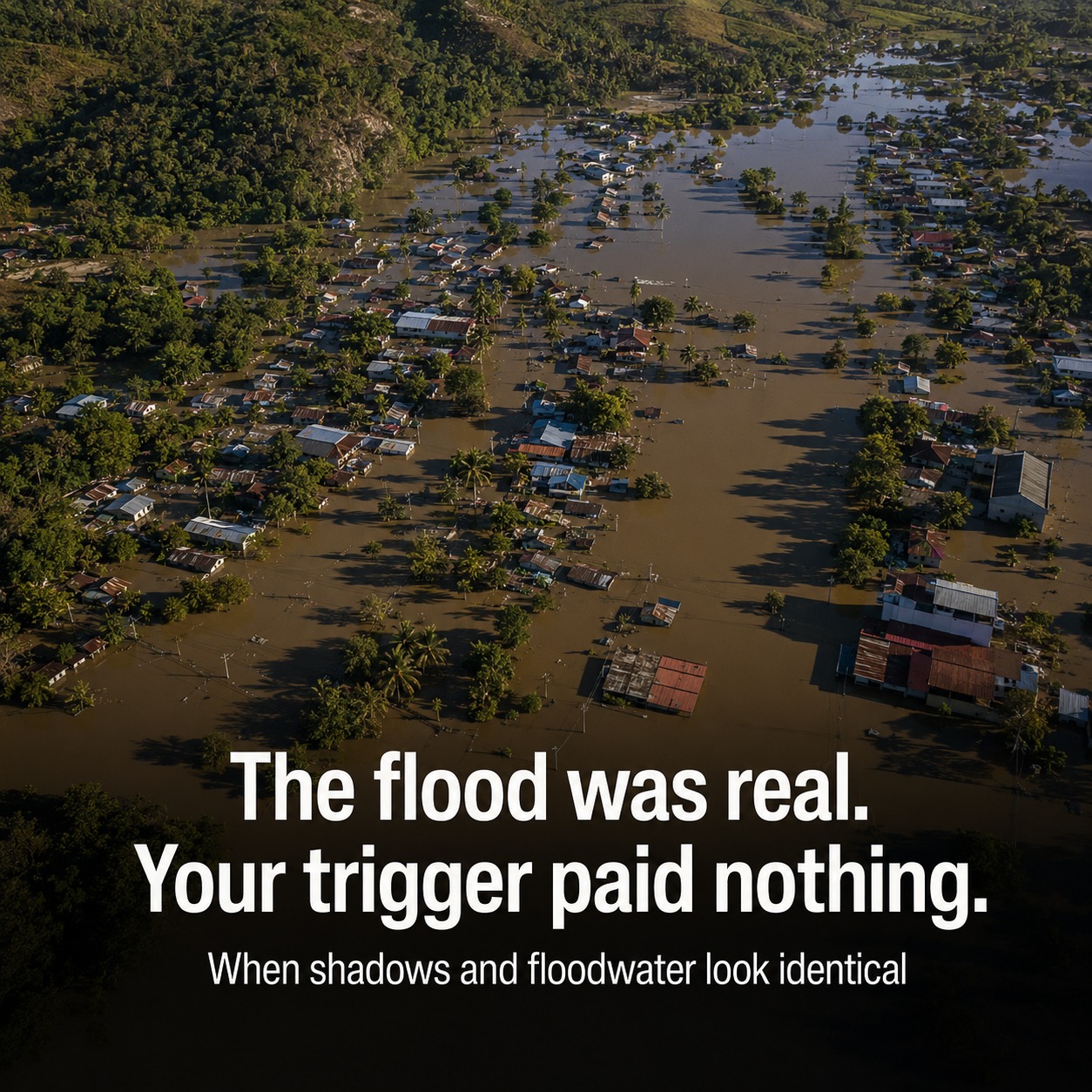
In Nagaland, the floods came and the parametric pilot paid nothing — the satellite trigger said the water never crossed the line.
That gap between what the satellite measures and what the policyholder lives through has a name: basis risk. It's the quiet reason parametric flood insurance still struggles to scale, even as the market heads toward $38B by 2030.
Here's the part most people miss. A single satellite frame can't reliably tell floodwater from a cloud shadow. On optical imagery they look almost identical. In cities, SAR radar bounces off buildings and the double-bounce signal masks the water entirely. So a model is asked to make a $2M payout call on a frame that is, physically, ambiguous.
When the trigger threshold is set high to avoid false payouts, real floods slip under it — Nagaland. Set it low, and shadows trigger phantom losses. Either way, someone is wrong, and someone doesn't get paid.
The fix isn't a better single frame. It's time. Stacking SAR and optical passes from before, during, and after an event lets you read the temporal signature — water shows up and persists where a shadow never could. Fusing radar with multispectral data lifts detection in cloud and shadow zones by more than 23% — pushing published 2025 SAR flood classifiers past 0.98 overall accuracy — and radar sees straight through the clouds that blanket every major flood.
That's the work our team does: vendor-neutral SAR-optical fusion — Sentinel, Capella, ICEYE, Planet, blended by what the event actually needs — with pixel-level confidence and a forensic evidence trail that survives an actuary and a courtroom. Not another dashboard login. A verification layer your cat model can defend.
Save this if you touch flood triggers, reinsurance, or disaster response. What's broken in your trigger logic right now — the false positives, or the floods that never cleared the threshold?
#ParametricInsurance #FloodRisk #SARSatellite #Reinsurance #GeospatialAI