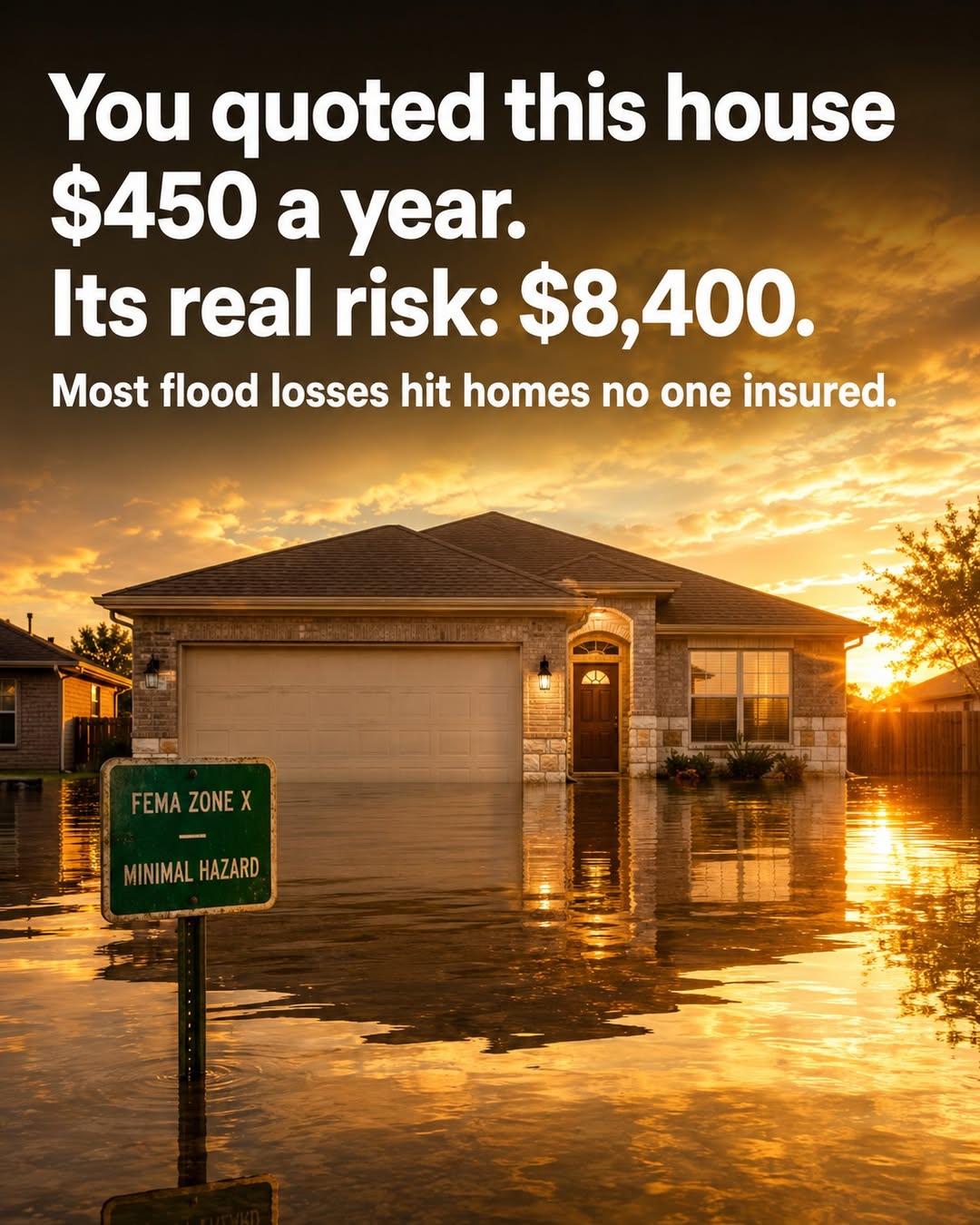
A slab house in Harris County gets quoted $450 a year for flood. Its expected annual loss is $8,400.
It sits in FEMA Zone X — "minimal hazard," no flood mandate. But it's built at ground level, 85% of its lot is concrete, and the nearest storm drain runs on a 30-year-old system sized for a 10-year rainfall. None of that shows up in a zone code.
This is the blind spot eating homeowners books. More than two-thirds of US flood damage — 68.3% — happens outside FEMA's high-risk zones. After Hurricane Harvey, 70% of flood claims came from properties no one was required to insure. On a 50,000-home Gulf Coast book, mispriced Zone X properties alone leak $2.8M to $4.2M a year — while the projected 2025 homeowners combined ratio sits at 106.1%.
The frustrating part is that the data to fix this already exists. ZestyAI reads first-floor elevation off aerial imagery. ICEYE's satellites remap flood extent every six hours during an event. First Street and Fathom score hazard down to the parcel. Each solves a slice — and the scores that work best, like ZestyAI's, are the ones whose model internals are too opaque for a state DOI examiner to approve as a rating factor.
That last mile — stitching vendor scores, satellite data, and your own claims history into one explainable, filing-ready factor — is the layer we build, and where the mispricing gets closed.
If you underwrite property: how much of your Zone X book is priced off the zone code alone?
#FloodRisk #InsurTech #Underwriting