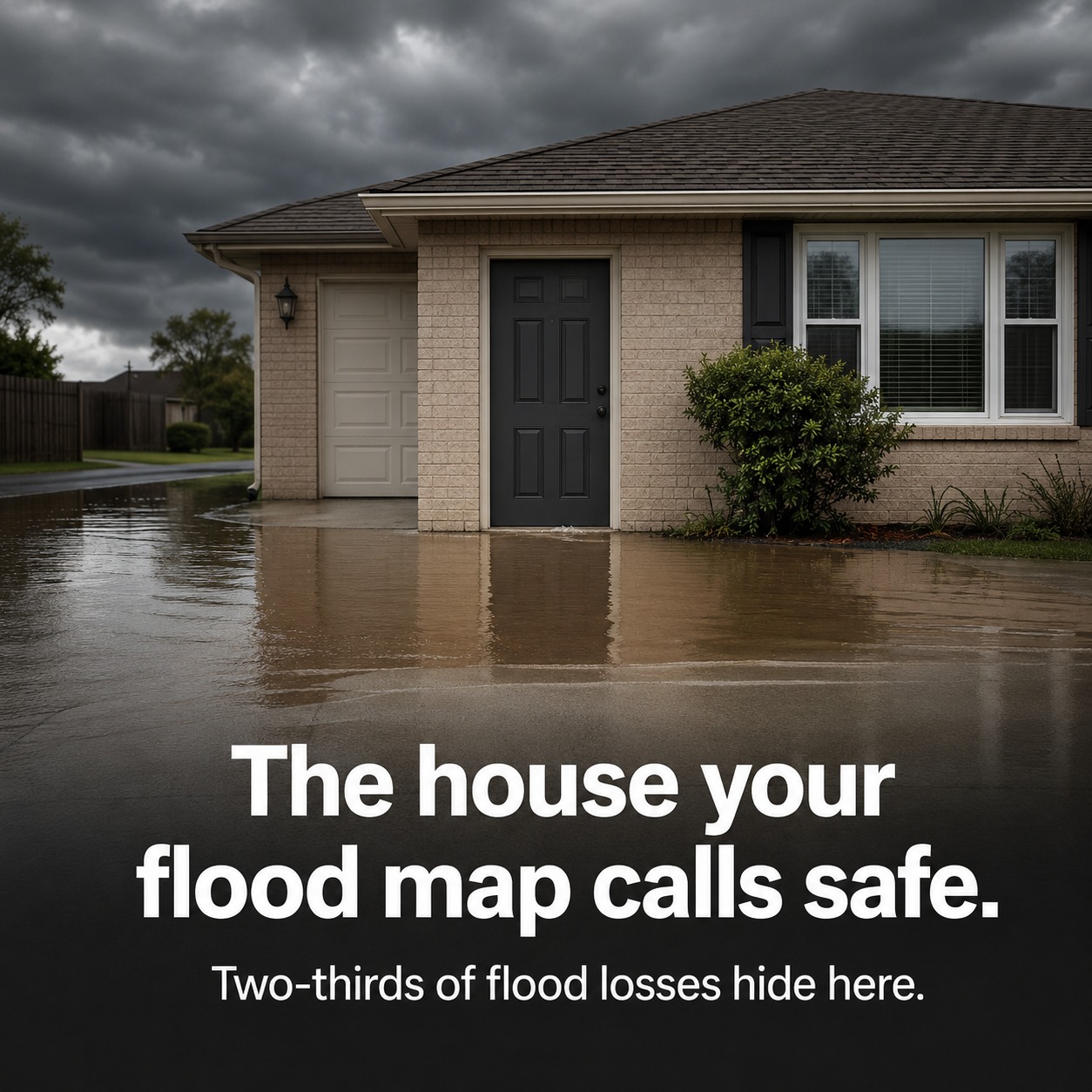
A Zone X house in Harris County. $450 flood premium. $8,400 in expected annual loss. Your rating engine sees a safe bet.
FEMA calls it "minimal hazard." Computer vision tells a different story: first floor elevation at 0.0 feet above grade, 85% impervious lot, a 30-year storm drain built for a 10-year rain — the kind of pluvial, rainfall-driven flooding FEMA's fluvial maps never capture. During a 4-inch/hour event, that house sheds 2.3x the runoff of its neighbors.
More than two-thirds of US flood damage now happens outside FEMA high-risk zones — 68.3%, per NC State and First Street research. After Hurricane Harvey, 70% of flood claims came from outside those zones. Yet most carriers still anchor pricing to Zone AE vs. Zone X, on maps where 75% are over five years old.
That's not a rounding error. On a book of 50,000 Southeast Texas homeowners, mispriced Zone X properties typically leak $2.8M–$4.2M a year. Meanwhile the projected 2025 homeowners combined ratio sits at 106.1%, and the carriers who already moved to property-level AI scoring are quietly cream-skimming your best risks — ZestyAI alone signed six new carriers in 2026.
The catch: no single vendor solves this. ZestyAI reads the property but doesn't model pluvial drainage. ICEYE's satellites see the flood, but only after it happens. First Street and Fathom score the hazard, not the structure. Each sells a silo.
What we build is the layer that fuses them — vendor scores, SAR monitoring, and your own claims history into one rating factor — with the actuarial memo and disparate-impact testing your state DOI examiner actually needs to approve it.
Your FEMA zones are wrong. The real question is whether your pricing admits it yet.
Save this for your next rate-filing conversation.
#FloodRisk #InsuranceUnderwriting #InsurTech #CatModeling #AIGovernance