- 68.3% of US flood damage happens OUTSIDE FEMA's high-risk zones. If your rating engine still anchors to Zone AE vs Zone X, you're overcharging the elevated house inside the zone and undercharging the slab house outside it. Both wrong. 🧵
- FEMA's maps were never built to price your book. 75% are over 5 years old; some date to the 1970s-80s. They map fluvial and coastal flooding and miss pluvial — urban rainfall — almost entirely. That's the fastest-growing loss driver, and a zone lookup can't see it.
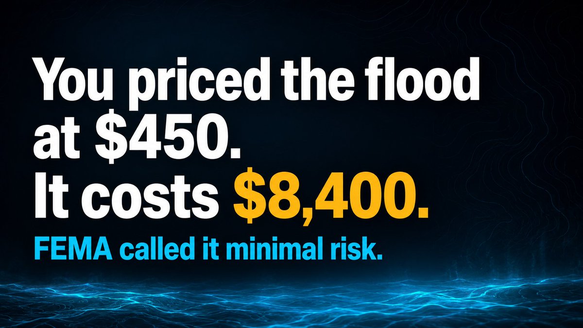
- A concrete case from our analysis: a 2004 slab home in Harris County, TX. FEMA Zone X. Legacy underwriting quotes ~$450/yr. The house has zero first-floor elevation above grade and 85% impervious surface vs a 45% neighborhood average. Zone X calls it "minimal hazard."
- Property-level AI sees what the zone can't: 2.3x the runoff of its neighbors in a 4-inch/hour storm, drainage built for 1.5-inch/hour, a 12% annual chance of 6+ inches of water intrusion. Expected annual loss: $8,400. You're collecting $450 against it.
- Now multiply across a book. Roughly 30-40 mispriced Zone X homes per 50,000 SE Texas policies drive $2.8M-$4.2M in annual leakage. After Harvey, 70% of flood claims came from outside FEMA high-risk zones — carriers who flagged them first cut cat loss 8-12 pts that year.
- Every vendor solves one slice. ZestyAI: CV property scores, production-proven — but no pluvial drainage model and opaque internals that make DOI filings harder. First Street: best US hazard database — but hazard-only, and not an accepted rating factor.
- ICEYE flies 30+ SAR satellites and maps flood extent every 6 hours mid-event — but it's observation, not prediction, with ±15cm urban depth error. Fathom (Swiss Re) has 50,000-year probabilistic event sets — but it's a hazard layer with no property vulnerability. Silos.
- The hard part isn't buying a score. It's fusing ZestyAI property data + ICEYE satellite + First Street/Fathom hazard + your own claims history into ONE rating factor your DOI examiner will approve. No vendor does that — each one sells you a fragment.
- And the filing is where most projects die. The NAIC AI Model Bulletin is live in 24+ states, NY DFS Circular 2024-7 demands disparate-impact testing, and the EU AI Act lands Aug 2026. Vendors hand you a score, not the actuarial memo and fairness analysis a DOI requires.
- So that's what we build: the flood intelligence layer. Vendor scores + satellite + your claims → one pluvial-aware rating factor, shipped with the filing docs and bias testing that get it approved. The carriers who moved already are cream-skimming your best risks.
- Honest question for flood underwriters: are you still rating off FEMA zones, or have you moved to property-level scoring? And if you tried, what actually blocked the DOI filing — the data, the explainability, or the actuarial memo? #insurtech
- We wrote up the full picture — vendor landscape, the Zone X leakage math, and the DOI documentation path carriers keep getting stuck on: https://veriprajna.com/solutions/flood-risk-underwriting