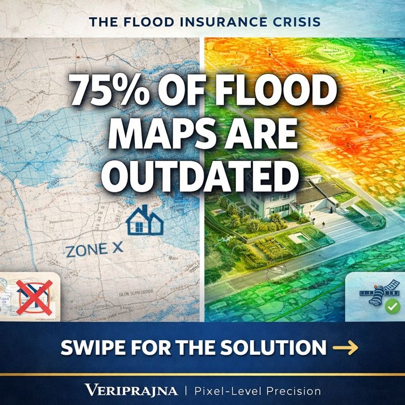
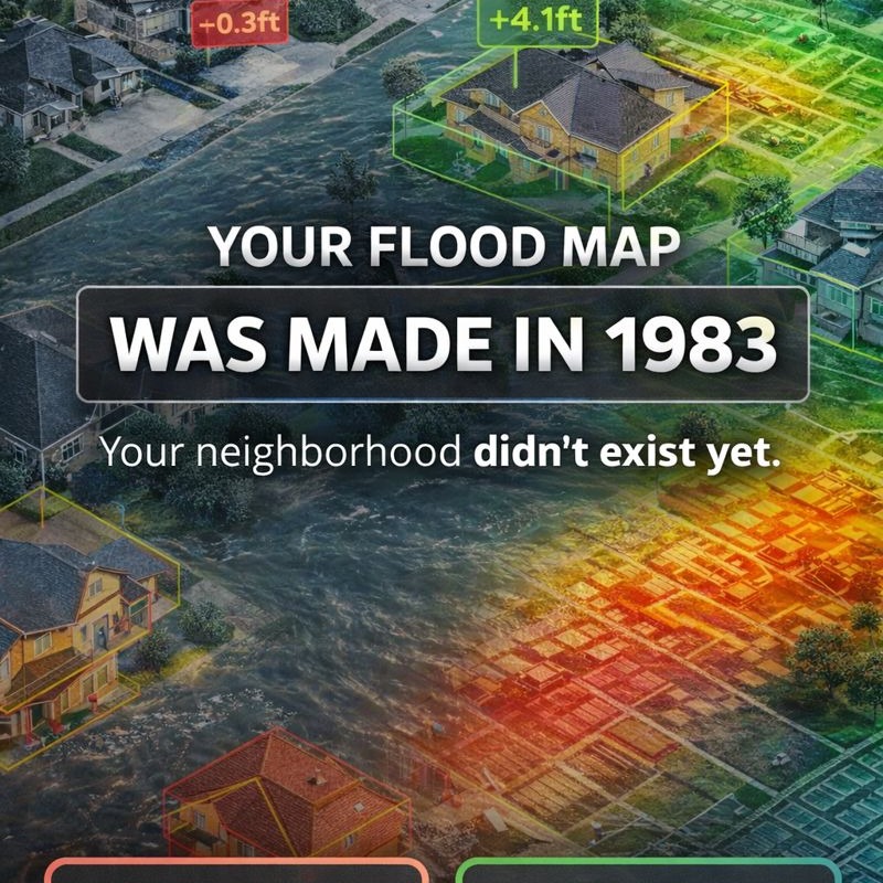
YOUR FLOOD INSURANCE IS BASED ON A MAP FROM 1983. 🗺️
THE PROBLEM:
75% of flood maps are over 5 years old
11% of maps date back to the 1970s–80s
68.3% of flood damage happens OUTSIDE “flood zones”
Translation:
The map says you’re safe.
You’re not.
WHY MAPS FAIL:
→ Drawn before your neighborhood existed
→ Don’t account for parking lots and pavement
→ Ignore urban drainage flooding
→ Binary zones (in or out) don’t reflect real risk
→ Miss climate-driven rainfall intensity
RESULT:
96% of homeowners in “safe” zones have ZERO flood insurance.
Then the storm hits.
$80,000 in damage.
No coverage.
THE DEEP AI FIX:
COMPUTER VISION 🎯
Analyzes your home’s exact elevation from street-level photos.
Counts stairs.
Calculates flood risk with 8.5-inch accuracy.
SAR SATELLITES 🛰️
See through clouds and rain 24/7.
Map floods in real time.
Verify claims instantly.
No more “my basement flooded” when satellite shows it stayed dry.
PHYSICS AI 🧠
Simulates water flow for YOUR property — not your zip code.
Your exact lot.
Runs 1,000 storm scenarios in seconds.
THE DIFFERENCE:
OLD WAY:
Zip code averages = unfair pricing
Static maps from decades ago
Binary yes/no flood zones
NEW WAY:
Exact elevation = fair pricing
Live satellite updates
Risk score from 1–100
THE RESULT:
✅ Low-risk homes pay less
✅ High-risk homes get accurate pricing
✅ Install flood vents — AI detects it and lowers your rate
✅ Elevate HVAC — instant premium reduction
Flood insurance finally makes sense.
PIXEL-LEVEL PRECISION.
Veriprajna | Deep AI for Climate Risk
📖 Read the full technical whitepaper here:
https://veriprajna.com/whitepapers/deep-ai-flood-risk-underwriting-pixel-level-precision
📧 [email protected]
🌐 https://veriprajna.com
💬 WhatsApp: +919217059957
#FloodInsurance #ClimateRisk #AI #DeepLearning #InsurTech #FloodMapping #SAR #ComputerVision #ClimateChange #Insurance #PropTech #RealEstate #FloodRisk #DisasterPreparedness #SmartInsurance #AIforGood #ClimateTech #Underwriting #RiskAssessment #Innovation