- Your flood insurance is based on maps from the 1980s.
The climate moved on. You didn't know you're uninsured.
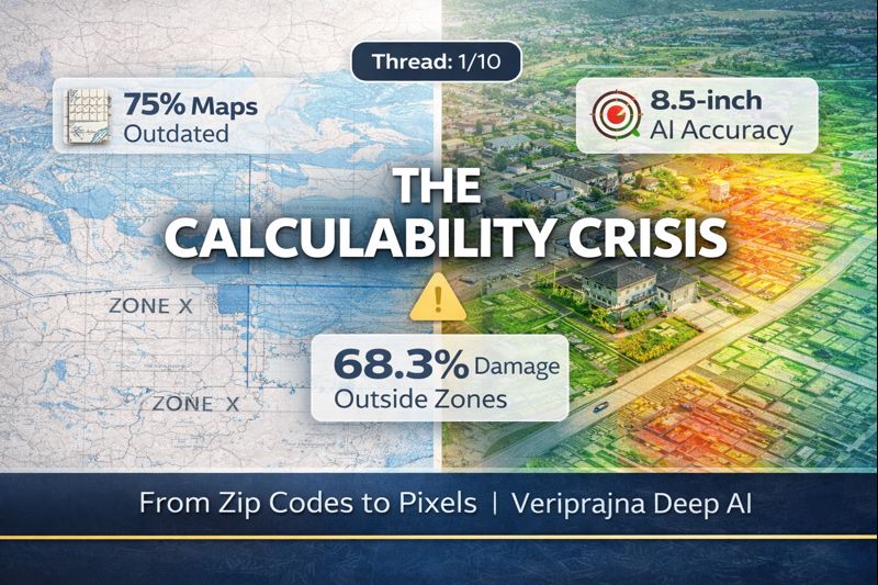
75% of FEMA maps are over 5 years old. 68.3% of flood damage occurs OUTSIDE designated zones.
Thread: How Deep AI fixes the $100B+ calculability crisis 🧵 - #FloodInsurance #AI
FEMA's Special Flood Hazard Areas create an "insurance cliff":
→ 1 foot inside the zone: Mandatory coverage, high premiums
→ 1 foot outside: "Zone X", minimal risk, most skip insurance
But flood risk is continuous, not binary. - Result: Massive adverse selection.
The numbers are brutal:
• 75% of maps >5 years old
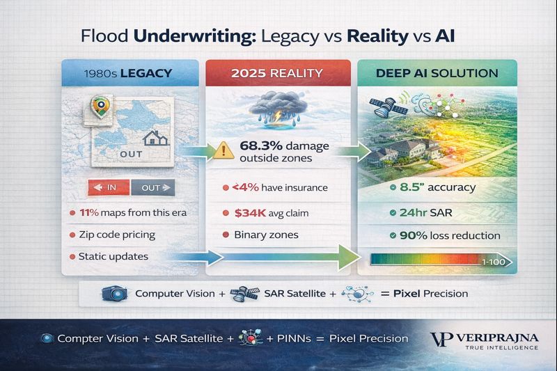
• 11% from 1970s-80s
• <4% of US homeowners have flood insurance
• 68.3% of damage outside high-risk zones
• Average claim: $34,000
Legacy underwriting is hemorrhaging capital. - #InsurTech
Traditional maps model rivers overflowing (fluvial) and coastal surge.
They MISS the dominant urban threat: pluvial flooding—rainfall overwhelming drainage.
3 inches of rain in an hour. Storm drains fail. Micro-topography becomes destiny.
Zip codes can't see this. - The #1 flood risk variable: First Floor Elevation (FFE).
Raising a home 1 foot above flood level = 90% loss reduction.
But FFE data doesn't exist. Manual certs cost $500+.
Deep AI analyzes street view imagery:
• Stair counting
• Depth estimation
• 8.5-inch accuracy - #ComputerVision
How it works:
1. Semantic segmentation identifies door, foundation, ground line
2. Monocular depth estimation calculates distance
3. Trigonometry derives vertical height
4. Stair count validates (6 steps × 7" = 42" FFE) - Millions of properties processed. Zero site visits.
Floods happen during storms. Optical satellites go blind in clouds.
Synthetic Aperture Radar (SAR) penetrates weather 24/7:
• Sentinel-1, ICEYE constellations
• Detects water via specular reflection - • 24-hour post-event mapping
• Sub-meter accuracy
Real-time claims triage.
Standard ML = black box correlations.
Physics-Informed Neural Networks (PINNs) = embedded fluid dynamics.
They respect:
• Conservation of mass
• Navier-Stokes equations - • Graph Neural Networks for drainage topology
Result: Physically plausible predictions at scale.
#SpaceTech
Legacy: Zip code averages → Cross-subsidization → Adverse selection → Deteriorating combined ratios
Deep AI: Pixel-level precision → Risk-based pricing → - Mitigation rewards → Portfolio optimization
Insurers with granular models "cream skim" good risks competitors miss.
Climate volatility has rendered historical averages non-stationary.
The protection gap widens. - Pixel-level deterministic modeling transforms flood risk from unpredictable catastrophe into a managed asset class.
Veriprajna deploys Deep AI underwriting systems. - 📖 Read the full technical whitepaper here: https://veriprajna.com/whitepapers/deep-ai-flood-risk-underwriting-pixel-level-precision
📧 [email protected]
🌐 https://veriprajna.com
💬 WhatsApp: +919217059957
#Veriprajna